
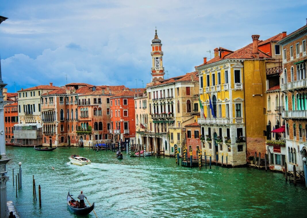


Venice’s historic buildings face rising water, repeated flooding and slow decay in their brick and stone, and conservators are turning to drones and digital twins to record the damage before it spreads. A digital twin is a measured three-dimensional model of a building as it stands, built from drone photography and laser scans, and it can be compared with later surveys to show what has changed. The Venice digital twins now being built give engineers a record they can measure, instead of relying on notes and photographs alone.
How the Venice digital twins are built
The work starts in the air and on the ground. Drones photograph roofs and facades from angles that scaffolding cannot reach, while laser scanners record the shape of walls, arches and statues to the millimetre. The two sets of data are combined into a single model that holds the building’s geometry and its condition at the date of the survey.
At the church of San Francesco della Vigna, researchers from University Iuav of Venice and the Studio Forti architecture firm used drone and laser surveys to build a digital twin of the facade and bell tower. The model showed the upper facade leaning away from vertical, colour changes that pointed to weathering and leaking, and stress concentrations in the decorative statues on the facade. The team then ran structural calculations on the model to test how the church would stand up to further damage.
The Doge’s Palace and San Giorgio Maggiore
The Doge’s Palace has been mapped in three dimensions by a team led by the Politecnico di Milano UNESCO Research Lab, working for the heritage authority SABAP Venice with the Fondazione Musei Civici di Venezia and the firm Gexcel. The survey gives engineers and restorers a detailed record of the palace to use in planning work and in assessing its seismic risk. It is one of the projects behind the Venice digital twins approach to conservation.
On the island of San Giorgio Maggiore, the Factum Foundation worked with ARCHiVE, the Ecole Polytechnique Federale de Lausanne and the start-up Iconem to record every building on the island, inside and out. A LiDAR scanner sent out pulses of laser light and measured the time each pulse took to return, recording inscriptions set so high they cannot be read from the ground. When the roofs were recorded by drone, the whole island existed as about one terabyte of data, a Venice digital twins record of every building, inside and out.
The record is meant to be used, not stored. As water levels rise in the Adriatic and the lagoon, repeated surveys can show where the water is reaching and what damage it is doing, building by building. That is the practical purpose of the Venice digital twins: a baseline that later surveys can be measured against.
Pressures the Venice digital twins are meant to track
Venice’s buildings are made of Istrian stone foundations, brick masonry and wooden pile systems, and they are damaged by several causes at once: rising sea levels, frequent tidal floods and material decay in porous masonry. A recent study in the Journal of Engineering and Applied Science noted that gentrification is also changing the character of the historic city, and that the Venice digital twins work needs to sit inside conservation plans that weigh social and environmental change.
Drones are not free to fly over the city. The historic centre is effectively a no-fly zone, and flights need authorization from the Italian civil aviation authority ENAC and local authorities, with fines for illegal flights ranging from about 500 euros to 64,000 euros. Research and professional survey flights can be approved, but recreational flying over the centre is banned. Those rules shape how the Venice digital twins surveys are planned, since each drone flight over the centre needs approval in advance.
The teams building the models say the point is to catch change early. A crack that grows by millimetres a year is easy to miss in a photograph and hard to miss when two measured models are laid side by side, and the record also survives even if the building itself does not. The Venice digital twins are a bet that careful measurement now will give the next generation of conservators something solid to work from.